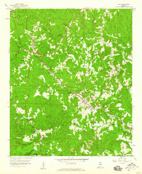
1958 Map of Lynn
USGS Topo · Published 1960About this map
William B Bankhead National Forest dominates much of the terrain in this late 1950s survey, illustrating a landscape defined by its deep creek valleys and early industrial activity. The Southern Line railroad serves as the primary corridor for commerce and travel, connecting the established settlements of Lynn and Glen Mary. In the western portion of the map, the namesake Natural Bridge stands as a significant geographic landmark near the junction of Southern Road and Byler Road. Local community life is anchored by a network of rural congregations and burial sites, including Kings Ch, Sardis Ch, and Dodd Memorial Cem. The map also reveals the regional economy through several scattered Strip Mines and Gravel Pits, which dot the hillsides near Ashbank and along the Winston and Walker County line.
Find a feature on this map
40 named features on this map. Tap any name to fly to it.
Don’t see what you’re looking for? This feature index may not catch every label — zoom into the map to look around manually.
Map Details
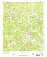
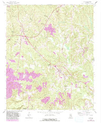
Editions of this 1958 Lynn Map
3 editions found
Other maps of this area

1893 · Jasper
USGS Topo · 1:125,000

1936 · Delmar
USGS Topo · 1:24,000

1936 · Goddard
USGS Topo · 1:24,000

1949 · Nauvoo
USGS Topo · 1:24,000

1950 · Nauvoo
USGS Topo · 1:24,000

1953 · Birmingham
USGS Topo · 1:250,000

1956 · Birmingham
USGS Topo · 1:250,000

1956 · Gadsden
USGS Topo · 1:250,000

1957 · Birmingham
USGS Topo · 1:250,000

1958 · Gadsden
USGS Topo · 1:250,000