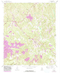
1958 Map of Lynn
USGS Topo · Published 1983About this map
Natural Bridge and the surrounding coal-bearing hills of Winston County define this mid-century landscape. The map captures a period of industrial change, where extensive Strip Mines and gravel pits operate alongside long-established rural institutions. Transportation is central to the area's development, featuring the historic Byler Road and the Southern Line railroad which connects the settlements of Lynn and Glen Mary.
Find a feature on this map
40 named features on this map. Tap any name to fly to it.
Don’t see what you’re looking for? This feature index may not catch every label — zoom into the map to look around manually.
Map Details
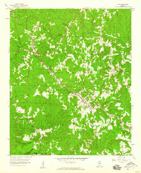
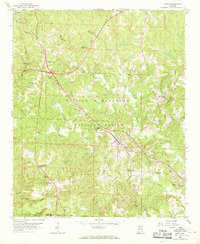
Editions of this 1958 Lynn Map
3 editions found
Other maps of this area

1893 · Jasper
USGS Topo · 1:125,000

1936 · Delmar
USGS Topo · 1:24,000

1936 · Goddard
USGS Topo · 1:24,000

1949 · Nauvoo
USGS Topo · 1:24,000

1950 · Nauvoo
USGS Topo · 1:24,000

1953 · Birmingham
USGS Topo · 1:250,000

1956 · Birmingham
USGS Topo · 1:250,000

1956 · Gadsden
USGS Topo · 1:250,000

1957 · Birmingham
USGS Topo · 1:250,000

1958 · Gadsden
USGS Topo · 1:250,000