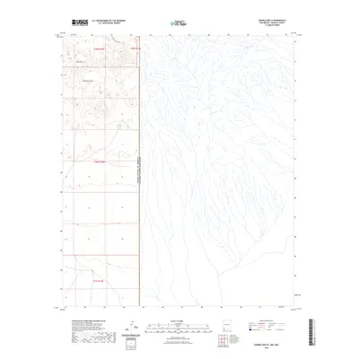
2023 Map of Double Wells
USGS Topo · Published 2023About this map
The international boundary between the United States and Mexico defines the character of this desert landscape in the southwestern corner of New Mexico. The terrain is marked by the volcanic slopes of Sierra Rica and the drainage of Muscrath Draw, which flows through the arid flats. This modern survey illustrates the sparse human footprint in the borderlands, where the only primary thoroughfare is the remote Hatchet Ranch Rd. A single water resource, Border Tank, serves as a critical landmark for ranchers and travelers in this high-desert environment, while the grid lines of the Public Land Survey System indicate the orderly division of these ranchlands. The map captures a point in time before significant topographic changes, providing a clear record of the intersection between international diplomacy and natural geography.
Find a feature on this map
9 named features on this map. Tap any name to fly to it.
Don’t see what you’re looking for? This feature index may not catch every label — zoom into the map to look around manually.
Map Details
Editions of this 2023 Double Wells Map
This is the sole edition of this map. No revisions or reprints were ever made.
Other maps of this area

1918 · Big Hatchet Peak
USGS Topo · 1:62,500

1918 · Hachita
USGS Topo · 1:62,500

1918 · Victorio
USGS Topo · 1:62,500

1955 · Douglas
USGS Topo · 1:250,000

1959 · Douglas
USGS Topo · 1:250,000

1961 · Douglas
USGS Topo · 1:250,000

1964 · Douglas
USGS Topo · 1:250,000
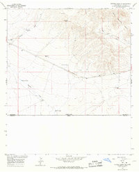
1964 · Victorio Ranch SE
USGS Topo · 1:24,000
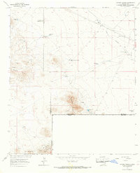
1965 · Victorio Ranch
USGS Topo · 1:24,000
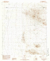
1982 · Doyle Peak
USGS Topo · 1:24,000