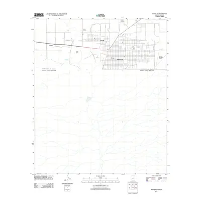
2011 Map of Douglas
USGS Topo · Published 2011About this map
Douglas serves as the focal point of this borderland survey, positioned directly against the international boundary of the United States of America and Estados Unidos Mexicanos. The town's grid expands toward the northwest into Pirtleville and the settlement of Calumet. This landscape is deeply shaped by its industrial heritage, most notably marked by the Copper Queen Smelter situated west of the main town site.
Find a feature on this map
42 named features on this map. Tap any name to fly to it.
Don’t see what you’re looking for? This feature index may not catch every label — zoom into the map to look around manually.
Map Details
Editions of this 2011 Douglas Map
This is the sole edition of this map. No revisions or reprints were ever made.
Other maps of this area

1914 · Douglas
USGS Topo · 1:62,500

1916 · Douglas
USGS Topo · 1:125,000

1919 · Douglas
USGS Topo · 1:125,000

1919 · Perilla
USGS Topo · 1:125,000

1925 · Douglas
USGS Topo · 1:62,500
1933 · Douglas
USGS Topo · 1:62,500

1940 · College Peaks
USGS Topo · 1:62,500

1955 · Douglas
USGS Topo · 1:250,000
1957 · Paul Spur
USGS Topo · 1:24,000
1958 · Double Adobe
USGS Topo · 1:24,000