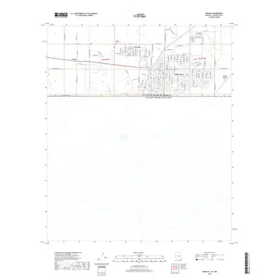
2018 Map of Douglas
USGS Topo · Published 2018About this map
The international border between the United States of America and Estados Unidos Mexicanos defines the southern edge of this Arizona landscape, where the street grid of Douglas meets the open terrain of Cochise County. The map provides a detailed view of the regional infrastructure in 2018, from the residential blocks and industrial corridors of the city to the outlying community of Pirtleville and the settlement at Calumet. Local genealogy is anchored by the presence of both Calvary Cem and Sacred Heart Cem, located near the northern residential fringes. Transportation and transit dominate the eastern portion of the survey, where the Douglas Municipal Airport sits just north of the border, and a network of named roads like N Cattleman Rd and W International Ave connect the desert ranch lands to the urban center.
Find a feature on this map
111 named features on this map. Tap any name to fly to it.
Don’t see what you’re looking for? This feature index may not catch every label — zoom into the map to look around manually.
Map Details
Editions of this 2018 Douglas Map
This is the sole edition of this map. No revisions or reprints were ever made.
Other maps of this area

1914 · Douglas
USGS Topo · 1:62,500

1916 · Douglas
USGS Topo · 1:125,000

1919 · Douglas
USGS Topo · 1:125,000

1919 · Perilla
USGS Topo · 1:125,000

1925 · Douglas
USGS Topo · 1:62,500
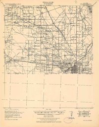
1933 · Douglas
USGS Topo · 1:62,500

1940 · College Peaks
USGS Topo · 1:62,500

1955 · Douglas
USGS Topo · 1:250,000
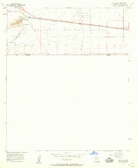
1957 · Paul Spur
USGS Topo · 1:24,000
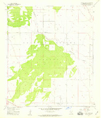
1958 · Double Adobe
USGS Topo · 1:24,000