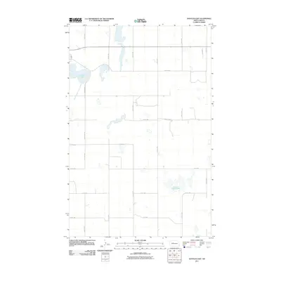
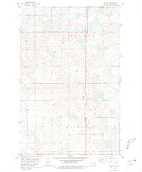
2011 Map of Douglas East
USGS Topo · Published 2011About this map
Douglas Lake and the marshy expanses of Shallow Alkali Lake anchor this rural landscape in Ward County, which is defined by the rigid North Dakota section-line grid. The map illustrates a high-prairie hydrology where seasonal water bodies and small potholes are common, particularly along the Middle Branch Douglas Creek. Transport throughout this agricultural region relies on a network of unpaved local roads and more significant routes like County Hwy-2 and County Hwy-5131. For researchers, the map provides precise coordinates of farmstead locations and the specific alignment of thoroughfares like 100th St SW and 40th Ave NW as they existed in the early twenty-first century.
Find a feature on this map
24 named features on this map. Tap any name to fly to it.
Don’t see what you’re looking for? This feature index may not catch every label — zoom into the map to look around manually.
Map Details
Editions of this 2011 Douglas East Map
This is the sole edition of this map. No revisions or reprints were ever made.
Other maps of this area

1922 · Garrison
USGS Topo · 1:62,500

1954 · McClusky
USGS Topo · 1:250,000

1956 · Emmet NE
USGS Topo · 1:24,000

1956 · Douglas West
USGS Topo · 1:24,000

1958 · McClusky
USGS Topo · 1:250,000
1974 · Garrison NW
USGS Topo · 1:24,000
1974 · Garrison NE
USGS Topo · 1:24,000

1980 · Lake Vernon
USGS Topo · 1:24,000
1980 · Douglas East
USGS Topo · 1:24,000
1980 · Max NE
USGS Topo · 1:24,000