
1980 Map of Lake Vernon
USGS Topo · Published 1981About this map
Glacial potholes and prairie wetlands define this corner of Ward County, where the transition between Rice Lake and Cameron townships is marked by an intricate network of small water bodies. The landscape is dominated by the sprawling Lake Vernon and its northern neighbor, Tangedahl Lake, both vital components of the regional water system. Human presence is centered on the small settlement of Rice, located near a prominent Radio Tower that serves as a modern landmark in the open prairie.
Find a feature on this map
16 named features on this map. Tap any name to fly to it.
Don’t see what you’re looking for? This feature index may not catch every label — zoom into the map to look around manually.
Map Details
Editions of this 1980 Lake Vernon Map
This is the sole edition of this map. No revisions or reprints were ever made.
Other maps of this area

1928 · Minot
USGS Topo · 1:62,500

1954 · Minot
USGS Topo · 1:250,000

1954 · McClusky
USGS Topo · 1:250,000

1956 · Blue Hill
USGS Topo · 1:24,000

1956 · Douglas West
USGS Topo · 1:24,000

1958 · McClusky
USGS Topo · 1:250,000

1958 · Minot
USGS Topo · 1:250,000

1980 · Minot
USGS Topo · 1:100,000
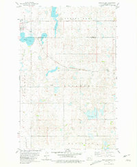
1980 · Douglas East
USGS Topo · 1:24,000
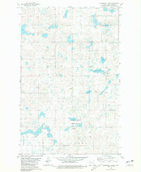
1980 · Underdahl Lake
USGS Topo · 1:24,000