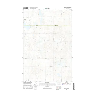
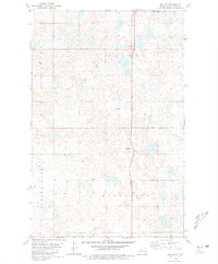
2014 Map of Douglas East
USGS Topo · Published 2014About this map
Douglas occupies the northwestern corner of this 2014 survey, situated on the prairie landscape just north of the Ward Co and McLean Co line. The terrain is defined by the distinctive glacial pothole geography of the region, featuring numerous small depressions and prominent water bodies like Douglas Lake. In the southeastern portion of the quadrangle, Shallow Alkali Lake stands as a notable landmark amidst a network of section-line roads such as 359th Ave SW and 40th Ave NW. Drainage across the central plains is facilitated by the Middle Br Douglas Cr, which winds through the western sections. This map documents the rural infrastructure of the early 21st century, showing the precise grid of county roads that organize the agricultural landscape of this North Dakota borderland.
Find a feature on this map
24 named features on this map. Tap any name to fly to it.
Don’t see what you’re looking for? This feature index may not catch every label — zoom into the map to look around manually.
Map Details
Editions of this 2014 Douglas East Map
This is the sole edition of this map. No revisions or reprints were ever made.
Other maps of this area

1922 · Garrison
USGS Topo · 1:62,500

1954 · McClusky
USGS Topo · 1:250,000

1956 · Emmet NE
USGS Topo · 1:24,000

1956 · Douglas West
USGS Topo · 1:24,000

1958 · McClusky
USGS Topo · 1:250,000
1974 · Garrison NW
USGS Topo · 1:24,000
1974 · Garrison NE
USGS Topo · 1:24,000

1980 · Lake Vernon
USGS Topo · 1:24,000
1980 · Douglas East
USGS Topo · 1:24,000
1980 · Max NE
USGS Topo · 1:24,000