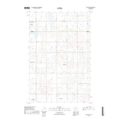
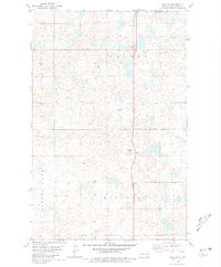
2018 Map of Douglas East
USGS Topo · Published 2018About this map
Douglas occupies the northwest corner of this prairie landscape, where the local economy and geography are defined by the Ward Co McLean Co boundary. The terrain is characterized by numerous depressions and wetlands common to this region of North Dakota, including the waters of Bartons Lake and the seasonally fluctuating Shallow Alkali Lake. These water bodies, along with the Middle Br Douglas Cr, reflect the natural drainage patterns of the plains before they reach larger river systems.
Find a feature on this map
31 named features on this map. Tap any name to fly to it.
Don’t see what you’re looking for? This feature index may not catch every label — zoom into the map to look around manually.
Map Details
Editions of this 2018 Douglas East Map
This is the sole edition of this map. No revisions or reprints were ever made.
Other maps of this area

1922 · Garrison
USGS Topo · 1:62,500

1954 · McClusky
USGS Topo · 1:250,000

1956 · Emmet NE
USGS Topo · 1:24,000

1956 · Douglas West
USGS Topo · 1:24,000

1958 · McClusky
USGS Topo · 1:250,000
1974 · Garrison NW
USGS Topo · 1:24,000
1974 · Garrison NE
USGS Topo · 1:24,000

1980 · Lake Vernon
USGS Topo · 1:24,000
1980 · Douglas East
USGS Topo · 1:24,000
1980 · Max NE
USGS Topo · 1:24,000