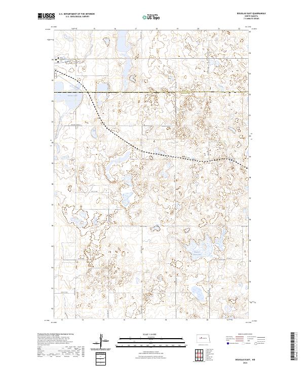
2024 Map of Douglas East
USGS Topo · Published 2024About this map
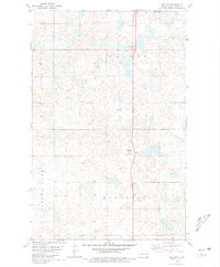
Trinity Lutheran Cem sits at the northern edge of this McLean County landscape, marking a point of long-standing community heritage near the Ward County line. The terrain is defined by a dense network of prairie potholes and wetlands characteristic of the northern plains, featuring prominent water bodies such as Bartons Lake and Shallow Alkali Lake. The McLean County Waterfowl Production Area preserves a significant portion of this lacustrine environment, highlighting the area's role in the regional ecosystem. The drainage of Middle Branch Douglas Creek winds through the western sections, while a grid of local routes like McLean Co Hwy 2 and Co Hwy 15 provides the primary infrastructure for this agricultural and conservation-focused region. This survey captures the modern intersection of wildlife management and rural cemetery preservation.
Find a feature on this map
29 named features on this map. Tap any name to fly to it.
Don’t see what you’re looking for? This feature index may not catch every label — zoom into the map to look around manually.
Map Details
Editions of this 2024 Douglas East Map
This is the sole edition of this map. No revisions or reprints were ever made.
Other maps of this area

1922 · Garrison
USGS Topo · 1:62,500

1954 · McClusky
USGS Topo · 1:250,000

1956 · Emmet NE
USGS Topo · 1:24,000

1956 · Douglas West
USGS Topo · 1:24,000

1958 · McClusky
USGS Topo · 1:250,000
1974 · Garrison NW
USGS Topo · 1:24,000
1974 · Garrison NE
USGS Topo · 1:24,000

1980 · Lake Vernon
USGS Topo · 1:24,000
1980 · Douglas East
USGS Topo · 1:24,000
1980 · Max NE
USGS Topo · 1:24,000