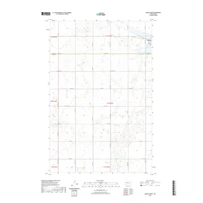
2020 Map of Douglas West
USGS Topo · Published 2020About this map
Douglas occupies the northeastern corner of this prairie landscape, situated just north of the wetlands surrounding Bartons Lake. The terrain is defined by the winding course of Middle Br Douglas Cr, which drains the southern half of the quadrangle through a series of subtle draws and depressions. This 2020 survey illustrates the organized grid of the Public Land Survey System, with township lines for t150n r85w and others clearly marking the transition between Ward and McLean counties. The area is heavily intersected by a network of rural routes, including McLean Co Hwy 2 and Co Hwy 11, reflecting the region's long-standing agricultural focus. The map provides a high-resolution view of the section lines and drainage patterns that have dictated local land use for generations.
Find a feature on this map
31 named features on this map. Tap any name to fly to it.
Don’t see what you’re looking for? This feature index may not catch every label — zoom into the map to look around manually.
Map Details
Editions of this 2020 Douglas West Map
This is the sole edition of this map. No revisions or reprints were ever made.
Other maps of this area

1922 · Garrison
USGS Topo · 1:62,500

1954 · McClusky
USGS Topo · 1:250,000

1956 · Emmet NE
USGS Topo · 1:24,000

1956 · Blue Hill
USGS Topo · 1:24,000

1956 · Emmet
USGS Topo · 1:24,000

1956 · Douglas West
USGS Topo · 1:24,000

1958 · McClusky
USGS Topo · 1:250,000
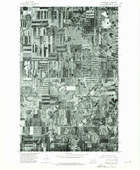
1974 · Garrison NW
USGS Topo · 1:24,000

1980 · Lake Vernon
USGS Topo · 1:24,000
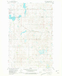
1980 · Douglas East
USGS Topo · 1:24,000