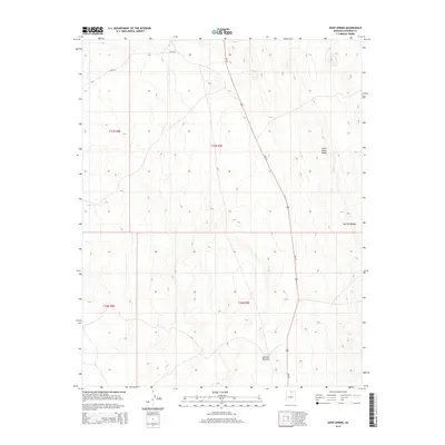
2014 Map of Dove Spring
USGS Topo · Published 2014About this map
Kaibito Plateau dominates the high desert landscape of Coconino County in this 2014 survey. The topography is defined by the sharp elevations of Little Black Mesa and the tiered formations of the Mormon Ridges. Human presence is marked by a network of Bureau of Indian Affairs routes, including Bia-20, Bia-6210, and Bia-6270, which traverse the open range alongside US Route 89. A critical water source in this arid environment, Dove Spring, is located centrally within the quadrangle, serving as a landmark in a region otherwise characterized by vast stretches of tribal land and rugged geological features. The map illustrates the 21st-century management of these ancestral lands, showing the intersection of modern transportation corridors and traditional natural resources.
Find a feature on this map
12 named features on this map. Tap any name to fly to it.
Don’t see what you’re looking for? This feature index may not catch every label — zoom into the map to look around manually.
Map Details
Editions of this 2014 Dove Spring Map
This is the sole edition of this map. No revisions or reprints were ever made.
Other maps of this area

1886 · Echo Cliffs
USGS Topo · 1:250,000

1891 · Echo Cliffs
USGS Topo · 1:250,000

1954 · Shinumo Altar NE
USGS Topo · 1:24,000

1954 · Tanner Wash
USGS Topo · 1:62,500

1954 · Shinumo Altar
USGS Topo · 1:62,500

1955 · Tanner Wash NE
USGS Topo · 1:24,000

1956 · Marble Canyon
USGS Topo · 1:250,000

1959 · Marble Canyon
USGS Topo · 1:250,000

1961 · Marble Canyon
USGS Topo · 1:250,000
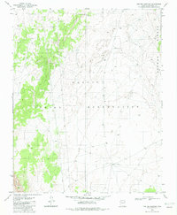
1982 · Toh Bih Nosteny
USGS Topo · 1:24,000