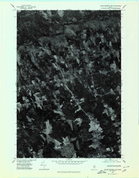
1975 Map of Dover-Foxcroft SE
USGS Topo · Published 1980About this map
Charleston and its surrounding rural landscapes in Penobscot County are documented here through high-altitude aerial photography taken in late 1975. This orthophotoquad provides an unfiltered view of the agricultural patterns and woodland coverage defining central Maine during the mid-1970s. The settlement pattern is characterized by small crossroads and clusters like West Charleston and Hicks Corner, connected by a network of rural roads that cut through dense forest and cleared fields.
Find a feature on this map
7 named features on this map. Tap any name to fly to it.
Don’t see what you’re looking for? This feature index may not catch every label — zoom into the map to look around manually.
Map Details
Editions of this 1975 Dover-Foxcroft SE Map
This is the sole edition of this map. No revisions or reprints were ever made.
Other maps of this area

1902 · Bangor
USGS Topo · 1:62,500

1931 · Stetson
USGS Topo · 1:48,000

1932 · Dover-Foxcroft
USGS Topo · 1:48,000

1933 · Boyd Lake
USGS Topo · 1:62,500

1935 · Dover-Foxcroft
USGS Topo · 1:62,500

1935 · Stetson
USGS Topo · 1:62,500

1942 · Bangor
USGS Topo · 1:62,500

1946 · Bangor
USGS Topo · 1:62,500

1948 · Bangor
USGS Topo · 1:250,000

1951 · Boyd Lake
USGS Topo · 1:50,000