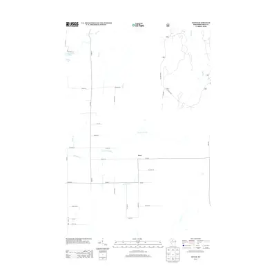
2013 Map of Dover
USGS Topo · Published 2013About this map
Dover serves as the central point of this Price County landscape, where the local road network reflects a quiet rural character defined by timber and water. The community is situated near the confluence of several vital waterways, including the N Br Little Elk River and the Little Elk River. Further north, Musser Lake and its tributary Musser Cr dominate the northwestern quadrant, while the Elk River winds through the eastern side of the sheet. The prevalence of forest roads, such as Forest Rd 503, underscores the importance of the surrounding woodlands in this part of Wisconsin. The naming of local routes like Black Ash Rd, Maple Dr, and Birchwood Dr further suggests a terrain long tied to the Northwoods ecosystem.
Find a feature on this map
34 named features on this map. Tap any name to fly to it.
Don’t see what you’re looking for? This feature index may not catch every label — zoom into the map to look around manually.
Map Details
Editions of this 2013 Dover Map
This is the sole edition of this map. No revisions or reprints were ever made.
Other maps of this area

1941 · Park Falls
USGS Topo · 1:48,000

1941 · Pike Lake
USGS Topo · 1:48,000

1941 · Phillips
USGS Topo · 1:48,000

1941 · Brantwood
USGS Topo · 1:48,000

1942 · Pike Lake
USGS Topo · 1:48,000

1943 · Park Falls
USGS Topo · 1:48,000

1943 · Philliips
USGS Topo · 1:48,000

1943 · Brantwood
USGS Topo · 1:48,000

1947 · Park Falls
USGS Topo · 1:48,000

1950 · Pike Lake
USGS Topo · 1:48,000