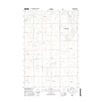
2015 Map of Dover
USGS Topo · Published 2015About this map
Dover and the surrounding Price County woodland define this 2015 survey, where the Chequamegon National Forest encompasses much of the eastern landscape. The area is defined by a dense network of waterways, including the winding Elk River and the Little Elk River, which feed into local basins like Musser Lake. For genealogists and local historians, the Emery Cem serves as a key landmark near the central settlement. The terrain is marked by numerous timber and access roads, such as Musser Dr and Hickory Dr, reflecting the region's managed forest heritage. The map also illustrates the convergence of small tributaries like Horton Cr and Musser Cr, which dictate the drainage patterns across the township lines.
Find a feature on this map
45 named features on this map. Tap any name to fly to it.
Don’t see what you’re looking for? This feature index may not catch every label — zoom into the map to look around manually.
Map Details
Editions of this 2015 Dover Map
This is the sole edition of this map. No revisions or reprints were ever made.
Other maps of this area

1941 · Park Falls
USGS Topo · 1:48,000

1941 · Pike Lake
USGS Topo · 1:48,000

1941 · Phillips
USGS Topo · 1:48,000

1941 · Brantwood
USGS Topo · 1:48,000

1942 · Pike Lake
USGS Topo · 1:48,000

1943 · Park Falls
USGS Topo · 1:48,000

1943 · Philliips
USGS Topo · 1:48,000

1943 · Brantwood
USGS Topo · 1:48,000

1947 · Park Falls
USGS Topo · 1:48,000

1950 · Pike Lake
USGS Topo · 1:48,000