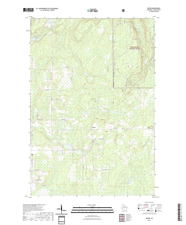
2022 Map of Dover
USGS Topo · Published 2022About this map
Chequamegon National Forest encompasses much of this Price County landscape, where the settlement of Dover sits amidst a complex network of glacial waterways. The drainage pattern is defined by the Elk River and its various tributaries, including the Little Elk River and the N Br Little Elk River. These streams wind through a heavily forested area marked by numerous wetlands and small ponds, characteristic of northern Wisconsin's timberlands.
Find a feature on this map
43 named features on this map. Tap any name to fly to it.
Don’t see what you’re looking for? This feature index may not catch every label — zoom into the map to look around manually.
Map Details
Editions of this 2022 Dover Map
This is the sole edition of this map. No revisions or reprints were ever made.
Other maps of this area

1941 · Park Falls
USGS Topo · 1:48,000

1941 · Pike Lake
USGS Topo · 1:48,000

1941 · Phillips
USGS Topo · 1:48,000

1941 · Brantwood
USGS Topo · 1:48,000

1942 · Pike Lake
USGS Topo · 1:48,000

1943 · Park Falls
USGS Topo · 1:48,000

1943 · Philliips
USGS Topo · 1:48,000

1943 · Brantwood
USGS Topo · 1:48,000

1947 · Park Falls
USGS Topo · 1:48,000

1950 · Pike Lake
USGS Topo · 1:48,000