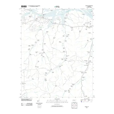
2010 Map of Dover
USGS Topo · Published 2010About this map
Fort Donelson National Battlefield stands as a central historical landmark on this Stewart County landscape, preserved along the banks of Lake Barkley. This 2010 survey details the modern configuration of Dover, Tennessee, where the Sidney C Lewis Highway Bridge crosses the expansive waters. The map reveals a legacy of resource extraction concentrated in the northeast, marked by sites such as the Skunk Hollow Mines and the Grave Yard Ore Bank.
Find a feature on this map
134 named features on this map. Tap any name to fly to it.
Don’t see what you’re looking for? This feature index may not catch every label — zoom into the map to look around manually.
Map Details
Editions of this 2010 Dover Map
This is the sole edition of this map. No revisions or reprints were ever made.
Other maps of this area

1931 · Erin
USGS Topo · 1:62,500

1936 · Tharpe
USGS Topo · 1:24,000

1936 · Tantrough Hollow
USGS Topo · 1:24,000

1936 · McKinnon
USGS Topo · 1:24,000

1936 · Stewart
USGS Topo · 1:24,000

1936 · Standing Rock
USGS Topo · 1:24,000

1936 · Dover
USGS Topo · 1:24,000

1950 · Stewart
USGS Topo · 1:24,000

1950 · Standing Rock
USGS Topo · 1:24,000

1950 · Dover
USGS Topo · 1:24,000