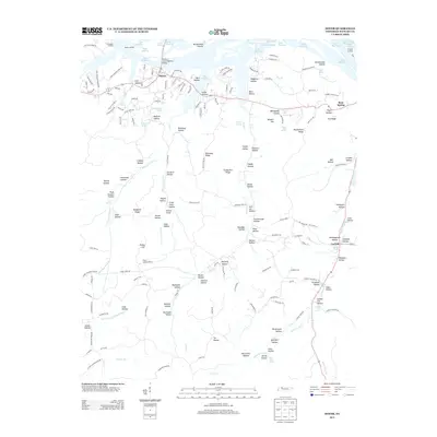
2013 Map of Dover
USGS Topo · Published 2013About this map
Dover serves as the focal point for this landscape along the banks of Lake Barkley, where the Sidney C Lewis Highway Bridge crosses the water. The terrain south of the river is a dense network of ridges and hollows, often bearing family names such as Dunaway Hollow, Orchard Hollow, and Cook Hollow. This topography creates a complex web of drainage including the West Fork Lick Cr and Long Cr systems.
Find a feature on this map
167 named features on this map. Tap any name to fly to it.
Don’t see what you’re looking for? This feature index may not catch every label — zoom into the map to look around manually.
Map Details
Editions of this 2013 Dover Map
This is the sole edition of this map. No revisions or reprints were ever made.
Other maps of this area

1931 · Erin
USGS Topo · 1:62,500

1936 · Tharpe
USGS Topo · 1:24,000

1936 · Tantrough Hollow
USGS Topo · 1:24,000

1936 · McKinnon
USGS Topo · 1:24,000

1936 · Stewart
USGS Topo · 1:24,000

1936 · Standing Rock
USGS Topo · 1:24,000

1936 · Dover
USGS Topo · 1:24,000

1950 · Stewart
USGS Topo · 1:24,000

1950 · Standing Rock
USGS Topo · 1:24,000

1950 · Dover
USGS Topo · 1:24,000