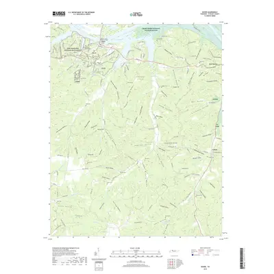
2019 Map of Dover
USGS Topo · Published 2019About this map
Fort Donelson National Battlefield anchors the northwest corner of this map, reflecting the deep military heritage preserved along the shores of Lake Barkley. This 2019 survey documents the intricate topography of Stewart County, where the Tennessee hills are carved by a dense network of hollows such as Dunaway Hollow and Moldingroom Hollow. The land use shows a distinct divide between the protected riparian environments of the Cross Creeks National Wildlife Refuge and the agricultural and timbered ridges that define the interior.
Find a feature on this map
162 named features on this map. Tap any name to fly to it.
Don’t see what you’re looking for? This feature index may not catch every label — zoom into the map to look around manually.
Map Details
Editions of this 2019 Dover Map
This is the sole edition of this map. No revisions or reprints were ever made.
Other maps of this area

1931 · Erin
USGS Topo · 1:62,500

1936 · Tharpe
USGS Topo · 1:24,000

1936 · Tantrough Hollow
USGS Topo · 1:24,000

1936 · McKinnon
USGS Topo · 1:24,000

1936 · Stewart
USGS Topo · 1:24,000

1936 · Standing Rock
USGS Topo · 1:24,000

1936 · Dover
USGS Topo · 1:24,000

1950 · Stewart
USGS Topo · 1:24,000

1950 · Standing Rock
USGS Topo · 1:24,000

1950 · Dover
USGS Topo · 1:24,000