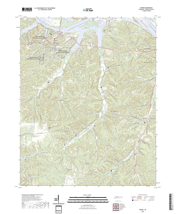
2022 Map of Dover
USGS Topo · Published 2022About this map
Fort Donelson National Battlefield anchors the western edge of this Stewart County landscape, preserving the site of a pivotal Civil War engagement near the bend of the Cumberland River. The town of Dover serves as the local hub, situated where the river broadens into Lake Barkley. This modern survey reveals a terrain deeply etched by narrow valleys and ridges, with names like Rattlesnake Hollow, Peapatch Hollow, and Potatopatch Hollow reflecting traditional land use and folk naming conventions.
Find a feature on this map
166 named features on this map. Tap any name to fly to it.
Don’t see what you’re looking for? This feature index may not catch every label — zoom into the map to look around manually.
Map Details
Editions of this 2022 Dover Map
This is the sole edition of this map. No revisions or reprints were ever made.
Other maps of this area

1931 · Erin
USGS Topo · 1:62,500

1936 · Tharpe
USGS Topo · 1:24,000

1936 · Tantrough Hollow
USGS Topo · 1:24,000

1936 · McKinnon
USGS Topo · 1:24,000

1936 · Stewart
USGS Topo · 1:24,000

1936 · Standing Rock
USGS Topo · 1:24,000

1936 · Dover
USGS Topo · 1:24,000

1950 · Stewart
USGS Topo · 1:24,000

1950 · Standing Rock
USGS Topo · 1:24,000

1950 · Dover
USGS Topo · 1:24,000