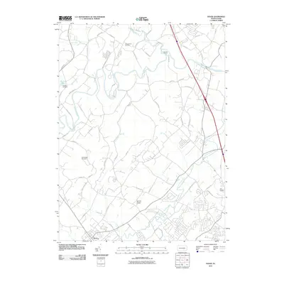
2010 Map of Dover
USGS Topo · Published 2010About this map
Dover serves as the primary residential hub in this part of York County, situated where several local roads converge amidst a landscape defined by the winding paths of Conewago Creek and Little Conewago Creek. The northern reaches of the quadrangle are characterized by the prominent elevation of Conewago Mountain, which separates the drainage of Beaver Creek from the southern valleys. Near the northern boundary, the Susquehanna Speedway and Cann-Edi-On Camp reflect the area's role in local recreation and regional entertainment.
Find a feature on this map
63 named features on this map. Tap any name to fly to it.
Don’t see what you’re looking for? This feature index may not catch every label — zoom into the map to look around manually.
Map Details
Editions of this 2010 Dover Map
This is the sole edition of this map. No revisions or reprints were ever made.
Other maps of this area

1906 · New Cumberland
USGS Topo · 1:62,500

1908 · Middletown
USGS Topo · 1:62,500

1908 · York
USGS Topo · 1:62,500

1910 · York
USGS Topo · 1:62,500

1920 · Hanover
USGS Topo · 1:62,500

1922 · Hanover
USGS Topo · 1:62,500

1943 · New Cumberland
USGS Topo · 1:62,500

1943 · Middletown
USGS Topo · 1:62,500

1948 · Baltimore
USGS Topo · 1:250,000

1950 · Harrisburg
USGS Topo · 1:250,000
Featured Places
- Manchester Township, PA
- East Manchester Township, PA
- Warrington Township, PA
- Zions View, Conewago Township
- Woodside, Newberry Township