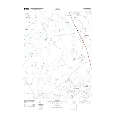
2013 Map of Dover
USGS Topo · Published 2013About this map
Conewago Cr winds through this section of York County, defining a landscape of residential expansion and rural tradition. The map documents the clustered settlements of Zions View and Strinestown along the historic Susquehanna Trail, showing how modern road networks have integrated these older hamlets. To the west, the rise of Conewago Mountain provides a prominent natural backdrop to the borough of Dover, while Pinchot Lake marks the northwestern edge of the map's coverage.
Find a feature on this map
203 named features on this map. Tap any name to fly to it.
Don’t see what you’re looking for? This feature index may not catch every label — zoom into the map to look around manually.
Map Details
Editions of this 2013 Dover Map
This is the sole edition of this map. No revisions or reprints were ever made.
Other maps of this area

1906 · New Cumberland
USGS Topo · 1:62,500

1908 · Middletown
USGS Topo · 1:62,500

1908 · York
USGS Topo · 1:62,500

1910 · York
USGS Topo · 1:62,500

1920 · Hanover
USGS Topo · 1:62,500

1922 · Hanover
USGS Topo · 1:62,500

1943 · New Cumberland
USGS Topo · 1:62,500

1943 · Middletown
USGS Topo · 1:62,500

1948 · Baltimore
USGS Topo · 1:250,000

1950 · Harrisburg
USGS Topo · 1:250,000
Featured Places
- Manchester Township, PA
- East Manchester Township, PA
- Warrington Township, PA
- Zions View, Conewago Township
- Woodside, Newberry Township