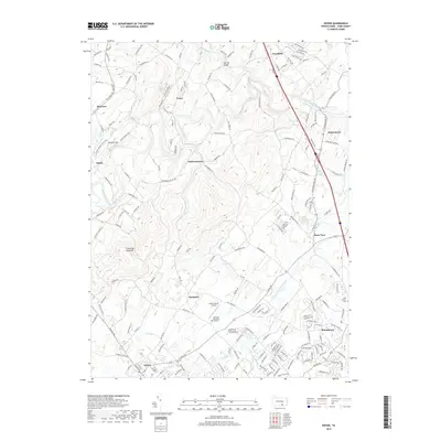
2019 Map of Dover
USGS Topo · Published 2019About this map
Conewago Creek winds across the northern landscape, anchoring a series of small, interconnected communities that define this portion of York County. The terrain transitions from the elevations of Conewago Mountain and Straight Hill in the west, where the edge of Gifford Pinchot State Park begins, to the rolling agricultural and residential stretches of Dover and Roundtown in the south. The area is marked by a legacy of local infrastructure, from the Kise Mill Bridge spanning the creek to the scattered rural settlements like Zions View, Erney, and Strinestown.
Find a feature on this map
181 named features on this map. Tap any name to fly to it.
Don’t see what you’re looking for? This feature index may not catch every label — zoom into the map to look around manually.
Map Details
Editions of this 2019 Dover Map
This is the sole edition of this map. No revisions or reprints were ever made.
Other maps of this area

1906 · New Cumberland
USGS Topo · 1:62,500

1908 · Middletown
USGS Topo · 1:62,500

1908 · York
USGS Topo · 1:62,500

1910 · York
USGS Topo · 1:62,500

1920 · Hanover
USGS Topo · 1:62,500

1922 · Hanover
USGS Topo · 1:62,500

1943 · New Cumberland
USGS Topo · 1:62,500

1943 · Middletown
USGS Topo · 1:62,500

1948 · Baltimore
USGS Topo · 1:250,000

1950 · Harrisburg
USGS Topo · 1:250,000
Featured Places
- Manchester Township, PA
- East Manchester Township, PA
- Warrington Township, PA
- Zions View, Conewago Township
- Woodside, Newberry Township