2023 Map of Dover
USGS Topo · Published 2023About this map
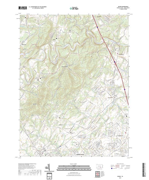
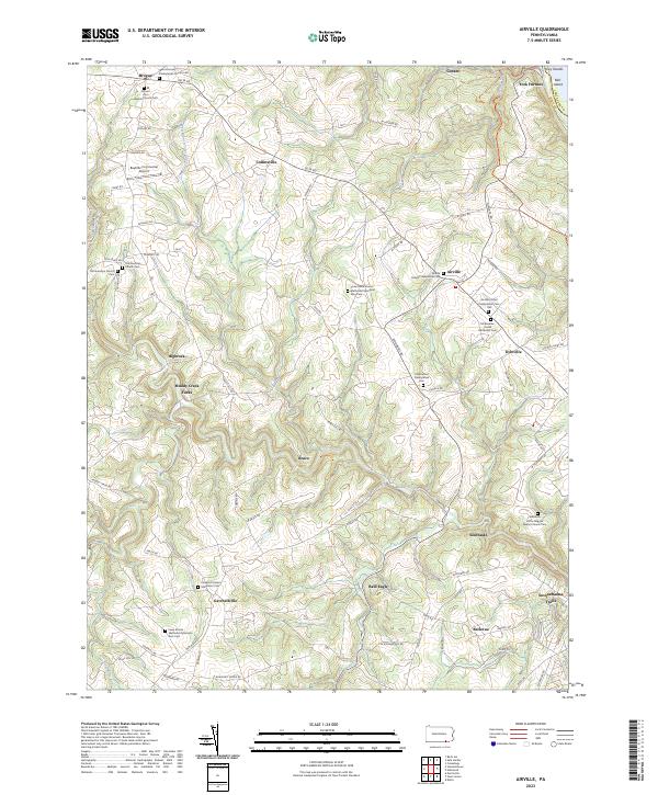
Conewago Creek and its many tributaries, including Little Conewago Creek and Beaver Creek, wind through this York County landscape, defining the rural character of the region. The map captures a high density of small family and community burial sites, such as the Boyer Family Gravesite and Benders Burial Ground, which offer significant value for genealogical research in this part of Pennsylvania. High points like Conewago Mountain and Straight Hill overlook a network of established settlements including Andersontown, Zions View, and Strinestown. The presence of the Lazy B Ranch Airport and newer residential developments near Weigelstown reflects the late-century transition from purely agricultural land use to a mix of suburban and utility-oriented growth. Historic transport corridors like the Mason Dixon Trail and North Susquehanna Trail connect these communities, following the natural contours of the valley.
Find a feature on this map
165 named features on this map. Tap any name to fly to it.
Don’t see what you’re looking for? This feature index may not catch every label — zoom into the map to look around manually.
Map Details
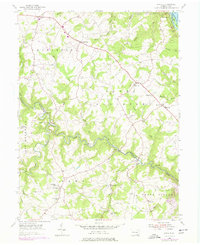
Editions of this 2023 Dover Map
This is the sole edition of this map. No revisions or reprints were ever made.
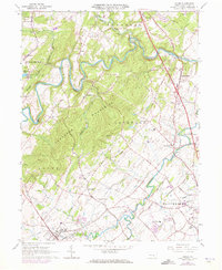
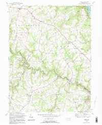
Historical Maps of Brandywine Through Time
7 maps found
Featured Locations
- Warrington Township, PA
- West Manchester Township, PA
- East Manchester Township, PA
- Manchester Township, PA
- Eastmont, Conewago Township