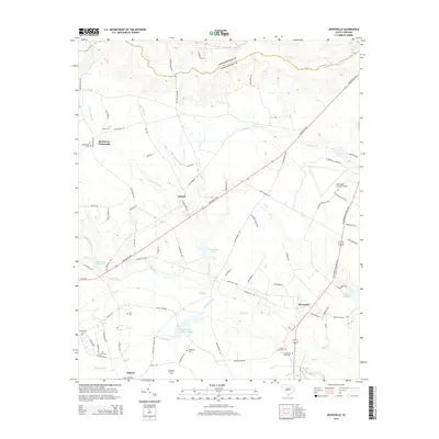
2014 Map of Dovesville
USGS Topo · Published 2014About this map
Black Creek and its many tributaries, including Everlasting Branch and Buckholtz Creek, define the drainage and settlement patterns of this section of South Carolina. The landscape is dotted with ancestral landmarks, particularly in the northern reaches where Birdstown Crossroads and Antioch sit above the lowlands. The presence of numerous small burial grounds, such as Black Creek Cem, Old Black Creek Cem, and Fraser Cemetery, offers significant genealogical detail for those tracing family roots in the area surrounding Dovesville.
Find a feature on this map
88 named features on this map. Tap any name to fly to it.
Don’t see what you’re looking for? This feature index may not catch every label — zoom into the map to look around manually.
Map Details
Editions of this 2014 Dovesville Map
This is the sole edition of this map. No revisions or reprints were ever made.
Other maps of this area

1941 · Spartanburg
USGS Topo · 1:250,000

1942 · Rockingham
USGS Topo · 1:125,000

1953 · Florence
USGS Topo · 1:250,000

1953 · Spartanburg
USGS Topo · 1:250,000

1954 · Florence
USGS Topo · 1:250,000

1960 · Spartanburg
USGS Topo · 1:250,000

1963 · Spartanburg
USGS Topo · 1:250,000

1963 · Dovesville
USGS Topo · 1:24,000

1963 · Mont Clare
USGS Topo · 1:24,000

1963 · Darlington East
USGS Topo · 1:24,000