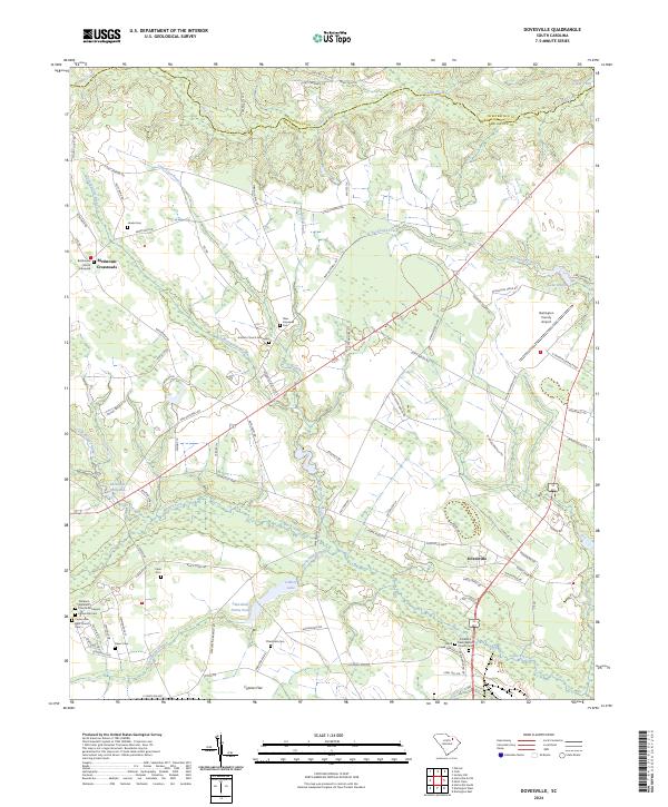
2024 Map of Dovesville
USGS Topo · Published 2024About this map
Dovesville and the outlying Birdstown Crossroads define the local settlement pattern in this contemporary look at the northern reaches of Darlington County. The landscape is deeply tied to its rural heritage, marked by an exceptional concentration of family and denominational burial grounds, including the Old Black Creek Baptist Church Cem and the Nazareth Apostolic Church Graveyard. These sites, along with the Antioch Church Graveyard and Bethlehem Church Graveyard, serve as vital touchpoints for genealogical research in this part of South Carolina.
Find a feature on this map
98 named features on this map. Tap any name to fly to it.
Don’t see what you’re looking for? This feature index may not catch every label — zoom into the map to look around manually.
Map Details
Editions of this 2024 Dovesville Map
This is the sole edition of this map. No revisions or reprints were ever made.
Other maps of this area

1941 · Spartanburg
USGS Topo · 1:250,000

1942 · Rockingham
USGS Topo · 1:125,000

1953 · Florence
USGS Topo · 1:250,000

1953 · Spartanburg
USGS Topo · 1:250,000

1954 · Florence
USGS Topo · 1:250,000

1960 · Spartanburg
USGS Topo · 1:250,000

1963 · Spartanburg
USGS Topo · 1:250,000

1963 · Dovesville
USGS Topo · 1:24,000

1963 · Mont Clare
USGS Topo · 1:24,000

1963 · Darlington East
USGS Topo · 1:24,000