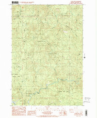
1984 Map of Dovre Peak
USGS Topo · Published 1984About this map
Tillamook State Forest and the Siuslaw National Forest converge in this high-elevation coastal range landscape, dominated by the prominent heights of Dovre Peak and Trask Summit. This 1984 survey reveals a terrain defined by its complex drainage network, where the headwaters of the Nestucca River flow through the southern reach while the South Fork Trask River and its numerous tributaries, such as Headquarters Camp Creek, carve the northern slopes. The map documents the infrastructure of 20th-century timber and resource management, noting several Quarry sites and established recreation points like Alder Glen Campground and Elk Bend Campground. The intricate boundary lines between state and national forests illustrate the mosaic of public land management in the Oregon Coast Range during the mid-1980s.
Find a feature on this map
26 named features on this map. Tap any name to fly to it.
Don’t see what you’re looking for? This feature index may not catch every label — zoom into the map to look around manually.
Map Details
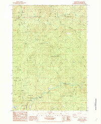
Editions of this 1984 Dovre Peak Map
2 editions found
Other maps of this area

1942 · Ginger Peak
USGS Topo · 1:62,500

1942 · Sheridan
USGS Topo · 1:62,500

1942 · Spirit Mtn
USGS Topo · 1:62,500

1942 · Fairdale
USGS Topo · 1:62,500

1948 · Vancouver
USGS Topo · 1:250,000

1950 · Vancouver
USGS Topo · 1:250,000

1950 · Vancouver
USGS Topo · 1:250,000

1955 · Blaine
USGS Topo · 1:62,500

1955 · Fairdale
USGS Topo · 1:62,500

1955 · Grand Ronde
USGS Topo · 1:62,500