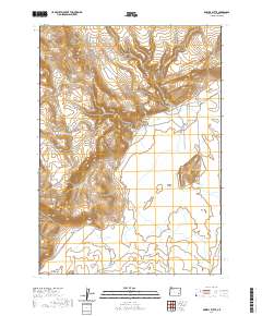
2020 Map of Dowell Butte
USGS Topo · Published 2020About this map
Barren Valley and the surrounding high desert of Malheur County define this 2020 landscape, where water is the primary architect of the terrain. The topography is marked by significant ephemeral features, including the large Turnbull Lakebed, Piute Lake Bed, and Duck Creek Lakebed. These basins, along with the Dowell Reservoir, illustrate the precarious nature of water management in this arid region. The high ground is dominated by Dowell Butte and the long stretch of Duck Pond Ridge.
Find a feature on this map
24 named features on this map. Tap any name to fly to it.
Don’t see what you’re looking for? This feature index may not catch every label — zoom into the map to look around manually.
Map Details
Editions of this 2020 Dowell Butte Map
This is the sole edition of this map. No revisions or reprints were ever made.
Other maps of this area

1955 · Burns
USGS Topo · 1:250,000

1955 · Boise
USGS Topo · 1:250,000

1958 · Burns
USGS Topo · 1:250,000

1958 · Boise
USGS Topo · 1:250,000

1959 · Burns
USGS Topo · 1:250,000

1962 · Boise
USGS Topo · 1:250,000
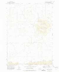
1972 · Saddle Butte
USGS Topo · 1:24,000

1972 · Crowley
USGS Topo · 1:24,000
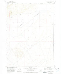
1972 · Mustang Butte
USGS Topo · 1:24,000
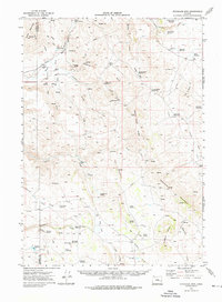
1972 · Stockade Mtn
USGS Topo · 1:62,500