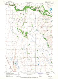
1966 Map of Downer
USGS Topo · Published 1968About this map
Buffalo River State Park dominates the northern landscape of this Clay County survey, where the Buffalo River winds through a corridor of wooded terrain amidst the expansive prairie of the Red River Valley. The area's mid-century character is defined by its transit history, showing the Northern Pacific and Great Northern rail lines alongside an Old Railroad Grade that speaks to earlier alignments. Small settlements like Muskoda and Downer anchor the rail network, while the surrounding townships of Riverton, Hawley, Elkton, and Skree are marked by an intensive network of drainage infrastructure, including County Ditch No 57 and County Ditch No 12. Conservation and industrial activity coexist here, as the Magnusson State Wildlife Management Area provides habitat near Hay Creek, even as numerous gravel pits dot the glacial terrain.
Find a feature on this map
19 named features on this map. Tap any name to fly to it.
Don’t see what you’re looking for? This feature index may not catch every label — zoom into the map to look around manually.
Map Details
Editions of this 1966 Downer Map
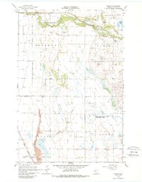
2 editions found
Other maps of this area

1895 · Fargo
USGS Topo · 1:125,000

1897 · Fargo
USGS Topo · 1:125,000

1919 · Barnesville
USGS Topo · 1:62,500

1919 · Hawley
USGS Topo · 1:62,500

1952 · Barnesville
USGS Topo · 1:62,500

1953 · Fargo
USGS Topo · 1:250,000

1956 · Fargo
USGS Topo · 1:250,000

1964 · Baker
USGS Topo · 1:24,000
1964 · Glyndon South
USGS Topo · 1:24,000
1964 · Glyndon North
USGS Topo · 1:24,000