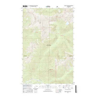
2017 Map of Downey Mountain
USGS Topo · Published 2017About this map
Sulphur Hot Springs sits at the southern edge of this high-altitude terrain, where the mountain landscape descends toward the Suiattle River. This 2017 survey by the U.S. Geological Survey details a vertical world within the Mount Baker National Forest, dominated by the peaks of Mt Buckindy, Downey Mountain, and Green Mtn. The drainage patterns are intricate, with glacial melt feeding Kindy Cr, Downey Cr, and Sulphur Cr. High alpine basins harbor isolated water bodies such as Bench Lake, Pilot Lake, and Downey Lake. The map illustrates the administrative division between Skagit and Snohomish counties as it cuts across these ridges. Primary access is restricted to forest routes such as Nat For Dev Rd 26 and Nat For Dev Rd 25, which trace the river valley floor.
Find a feature on this map
30 named features on this map. Tap any name to fly to it.
Don’t see what you’re looking for? This feature index may not catch every label — zoom into the map to look around manually.
Map Details
Editions of this 2017 Downey Mountain Map
This is the sole edition of this map. No revisions or reprints were ever made.
Other maps of this area

1899 · Glacier Peak
USGS Topo · 1:125,000

1901 · Glacier Peak
USGS Topo · 1:125,000

1950 · Glacier Peak
USGS Topo · 1:62,500

1955 · Concrete
USGS Topo · 1:250,000

1958 · Concrete
USGS Topo · 1:250,000

1962 · Concrete
USGS Topo · 1:250,000

1963 · Sonny Boy Lakes
USGS Topo · 1:24,000
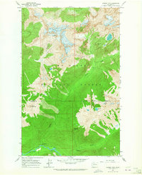
1963 · Downey Mtn
USGS Topo · 1:24,000
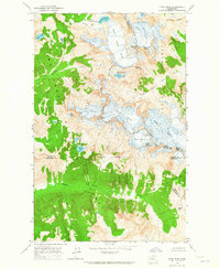
1963 · Dome Peak
USGS Topo · 1:24,000
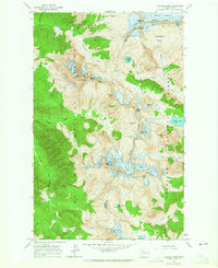
1963 · Cascade Pass
USGS Topo · 1:24,000