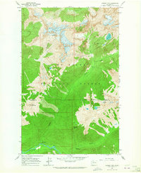
1963 Map of Downey Mtn
USGS Topo · Published 1965About this map
Sulphur Hot Springs and the surrounding wilderness of the Mt Baker National Forest characterize this mid-1960s study of the Cascades. The landscape is defined by the steep drainage basins of the Suiattle River and its major tributaries, including Downey Creek and Sulphur Creek. Human presence is limited to remote outposts and recreation points like the Downey Creek Campground and Sixmile Shelter, reflecting the high-elevation backcountry accessible only by trail or forest road. High-altitude landmarks such as Mount Buckindy, Green Mountain with its designated Lookout, and Downey Mountain dominate the terrain, which is dotted with alpine water bodies like Bench Lake and Pilot Lake. An Indefinite Boundary marks the division between Skagit and Snohomish counties in this high-relief area where natural features dictate the flow of travel and the placement of few surveyed improvements.
Find a feature on this map
21 named features on this map. Tap any name to fly to it.
Don’t see what you’re looking for? This feature index may not catch every label — zoom into the map to look around manually.
Map Details
Editions of this 1963 Downey Mtn Map
Other maps of this area

1899 · Glacier Peak
USGS Topo · 1:125,000

1901 · Glacier Peak
USGS Topo · 1:125,000

1950 · Glacier Peak
USGS Topo · 1:62,500

1955 · Concrete
USGS Topo · 1:250,000

1958 · Concrete
USGS Topo · 1:250,000

1962 · Concrete
USGS Topo · 1:250,000

1963 · Sonny Boy Lakes
USGS Topo · 1:24,000
1963 · Dome Peak
USGS Topo · 1:24,000
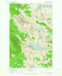
1963 · Cascade Pass
USGS Topo · 1:24,000
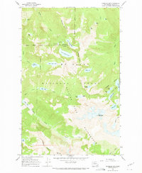
1966 · Snowking Mtn.
USGS Topo · 1:24,000