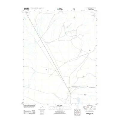
2011 Map of Downeyville
USGS Topo · Published 2011About this map
Lodi Valley dominates this high-desert Nevada landscape, characterized by the expansive Gabbs Wash that meanders through the arid terrain. The map captures the remote outpost of Lodi and its associated Lodi Post Office, centered near the foothills of the Lodi Hills. This area in Nye County reflects a sparse settlement pattern common to the Great Basin, where transportation and aviation infrastructure like the Gabbs Airport and Del Vega St serve as vital connectors across the dry expanse. To the east, the topography transitions into the steep recesses of Craig Canyon and McGery Canyon, while the presence of Mud Springs in the northwest corner highlights the critical importance of water sources in this environment.
Find a feature on this map
10 named features on this map. Tap any name to fly to it.
Don’t see what you’re looking for? This feature index may not catch every label — zoom into the map to look around manually.
Map Details
Editions of this 2011 Downeyville Map
This is the sole edition of this map. No revisions or reprints were ever made.
Other maps of this area

1907 · Tonopah
USGS Topo · 1:250,000

1908 · Tonopah
USGS Topo · 1:250,000

1908 · Carson Sink
USGS Topo · 1:250,000

1909 · Hawthorne
USGS Topo · 1:250,000

1910 · Carson Sink
USGS Topo · 1:250,000

1911 · Hawthorne
USGS Topo · 1:250,000

1915 · Hawthorne
USGS Topo · 1:250,000

1948 · Paradise Peak
USGS Topo · 1:62,500

1948 · Walker Lake
USGS Topo · 1:250,000

1950 · Paradise Peak
USGS Topo · 1:62,500