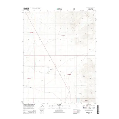
2014 Map of Downeyville
USGS Topo · Published 2014About this map
Lodi and its surrounding desert basins anchor this Nevada interior landscape as it appeared in the early 21st century. The terrain is defined by the sharp verticality of the Paradise Range and the Lodi Hills, which separate the expansive Lodi Valley from Gabbs Valley to the south. Transport through this high-desert corridor centers on State Route 361, which cuts a diagonal path toward Gabbs Airport. The intermittent waters of Gabbs Wash and drainage through Craig Canyon illustrate the arid hydrology typical of this Great Basin region. To the southeast, the protected lands of the Toiyabe National Forest begin their ascent, while the map's grid detail traces the townships and ranges that have governed this remote territory since the frontier era.
Find a feature on this map
17 named features on this map. Tap any name to fly to it.
Don’t see what you’re looking for? This feature index may not catch every label — zoom into the map to look around manually.
Map Details
Editions of this 2014 Downeyville Map
This is the sole edition of this map. No revisions or reprints were ever made.
Other maps of this area

1907 · Tonopah
USGS Topo · 1:250,000

1908 · Tonopah
USGS Topo · 1:250,000

1908 · Carson Sink
USGS Topo · 1:250,000

1909 · Hawthorne
USGS Topo · 1:250,000

1910 · Carson Sink
USGS Topo · 1:250,000

1911 · Hawthorne
USGS Topo · 1:250,000

1915 · Hawthorne
USGS Topo · 1:250,000

1948 · Paradise Peak
USGS Topo · 1:62,500

1948 · Walker Lake
USGS Topo · 1:250,000

1950 · Paradise Peak
USGS Topo · 1:62,500