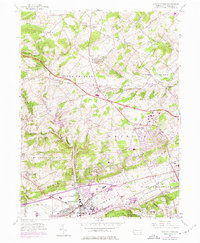
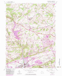
1956 Map of Downingtown
USGS Topo · Published 1974About this map
The Downingtown borough and its surrounding Chester County townships are captured here at a moment of significant mid-century transition. The southern corridor is defined by the heavy infrastructure of the Lincoln Highway and the Penn Central Tracks, while the northern reaches remain more rural, dotted with small crossroads like Ludwigs Corner and Anselma. A notable industrial footprint is evident near the center of the sheet, including a large Oil Tank Farm and various pumping stations, which contrast with the academic grounds of the Downingtown Industrial Sch and the Friends Sch.
Find a feature on this map
73 named features on this map. Tap any name to fly to it.
Don’t see what you’re looking for? This feature index may not catch every label — zoom into the map to look around manually.
Map Details
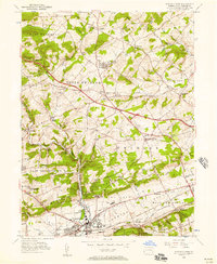
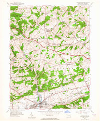
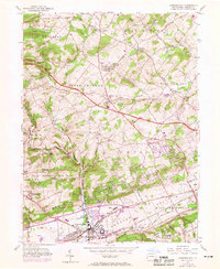
Editions of this 1956 Downingtown Map
5 editions found
Other maps of this area

1901 · West Chester
USGS Topo · 1:62,500

1904 · West Chester
USGS Topo · 1:62,500

1904 · Coatesville
USGS Topo · 1:62,500

1905 · Honey Brook
USGS Topo · 1:62,500

1906 · Phoenixville
USGS Topo · 1:62,500

1906 · Coatesville
USGS Topo · 1:62,500

1907 · Honeybrook
USGS Topo · 1:62,500

1918 · Coatesville
USGS Topo · 1:62,500

1941 · Honeybrook
USGS Topo · 1:62,500

1943 · Coatesville
USGS Topo · 1:62,500
Featured Places
- Caln Township, PA
- Downingtown, PA
- Lionville, Uwchlan Township
- West Pikeland Township, PA
- Wallace Township, PA