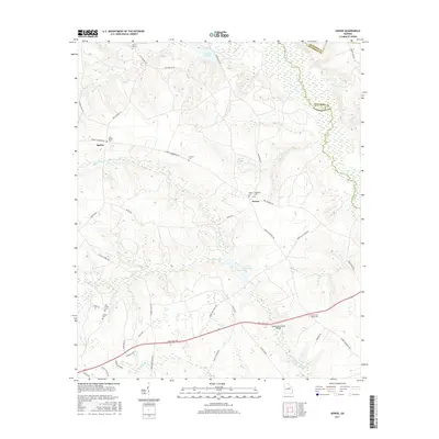
2017 Map of Downs
USGS Topo · Published 2017About this map
The Ogeechee River and its meandering tributaries define the borderlands of Washington, Jefferson, and Glascock Counties. This rural landscape is heavily marked by family and community history, evidenced by the high density of burial sites such as Antioch Cem, Amerson Cem, and the dual presence of Downs Cem and Whiteoak Cem near the small settlement of Downs. The terrain is shaped by water, with Williamson Swamp Creek and Kittrell Creek cutting through the lowlands, while the Jordan Millpond suggests the area's legacy of water-powered industry.
Find a feature on this map
51 named features on this map. Tap any name to fly to it.
Don’t see what you’re looking for? This feature index may not catch every label — zoom into the map to look around manually.
Map Details
Editions of this 2017 Downs Map
This is the sole edition of this map. No revisions or reprints were ever made.
Other maps of this area

1953 · Athens
USGS Topo · 1:250,000

1957 · Macon
USGS Topo · 1:250,000

1958 · Macon
USGS Topo · 1:250,000

1958 · Athens
USGS Topo · 1:250,000

1959 · Athens
USGS Topo · 1:250,000

1960 · Warthen NE
USGS Topo · 1:24,000

1961 · Warthen
USGS Topo · 1:24,000

1962 · Sandersville
USGS Topo · 1:24,000

1963 · Athens
USGS Topo · 1:250,000

1964 · Macon
USGS Topo · 1:250,000