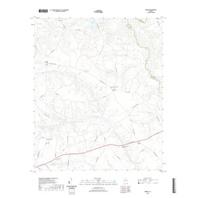
2020 Map of Downs
USGS Topo · Published 2020About this map
Williamson Swamp Cr carves a winding path through the center of this rural landscape, marking a terrain defined by subtle elevation changes and significant water drainage. In the northern reaches, Archers Lakes and Brown Lake sit among a network of minor tributaries like Stephens Cr and Kittrell Creek. The small community of Downs serves as a central point, flanked by its namesake Downs Cem and the adjacent Whiteoak Cem. This area of Washington and Jefferson counties is characterized by a high concentration of family and community burial grounds, which provide deep genealogical value for researchers of this Georgia interior.
Find a feature on this map
49 named features on this map. Tap any name to fly to it.
Don’t see what you’re looking for? This feature index may not catch every label — zoom into the map to look around manually.
Map Details
Editions of this 2020 Downs Map
This is the sole edition of this map. No revisions or reprints were ever made.
Other maps of this area

1953 · Athens
USGS Topo · 1:250,000

1957 · Macon
USGS Topo · 1:250,000

1958 · Macon
USGS Topo · 1:250,000

1958 · Athens
USGS Topo · 1:250,000

1959 · Athens
USGS Topo · 1:250,000

1960 · Warthen NE
USGS Topo · 1:24,000

1961 · Warthen
USGS Topo · 1:24,000

1962 · Sandersville
USGS Topo · 1:24,000

1963 · Athens
USGS Topo · 1:250,000

1964 · Macon
USGS Topo · 1:250,000