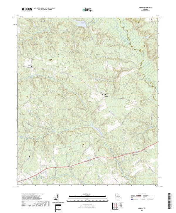
2024 Map of Downs
USGS Topo · Published 2024This historical map portrays the area of Downs in 2024, primarily covering Washington County as well as portions of Jefferson County and Glascock County. Featuring a scale of 1:24000, this map provides a highly detailed snapshot of the terrain, roads, buildings, counties, and historical landmarks in the Downs region at the time. Published in 2024, it is the sole known edition of this map.
Map Details
Editions of this 2024 Downs Map
This is the sole edition of this map. No revisions or reprints were ever made.
Historical Maps of Sparks Through Time
10 maps found
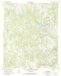
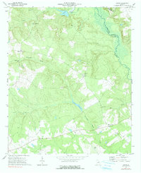
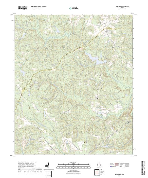
1960 Warthen NE
Washington County, GA
1962 Irwins Crossroads
Washington County, GA
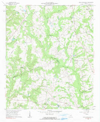
1962 Tabernacle
Washington County, GA
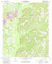
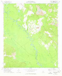
1972 Downs
Washington County, GA
1973 Gumm Pond
Washington County, GA
2024 Downs
Washington County, GA
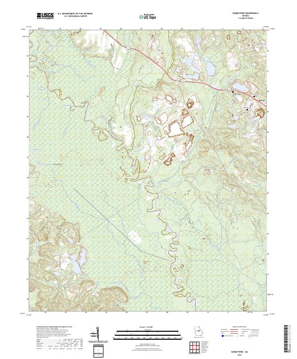
2024 Gumm Pond
Washington County, GA
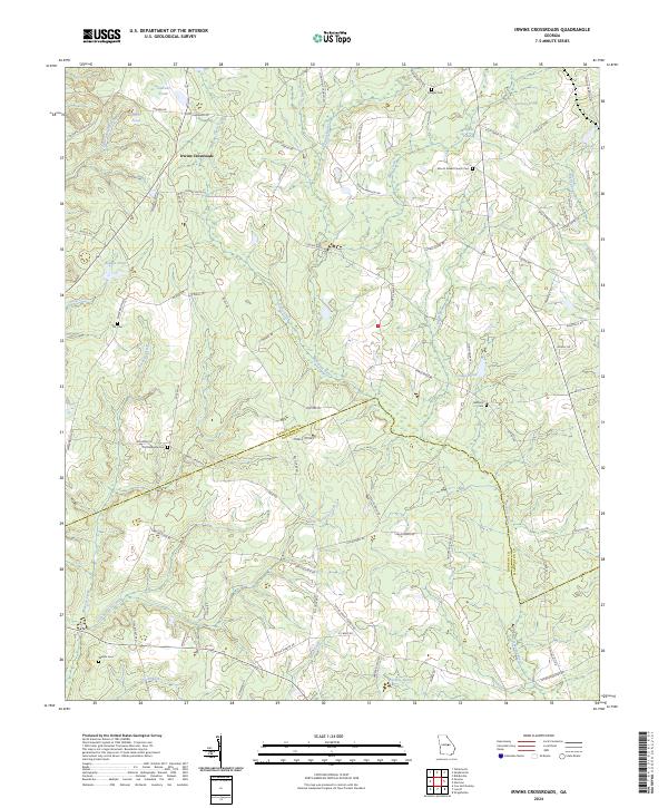
2024 Irwins Crossroads
Washington County, GA
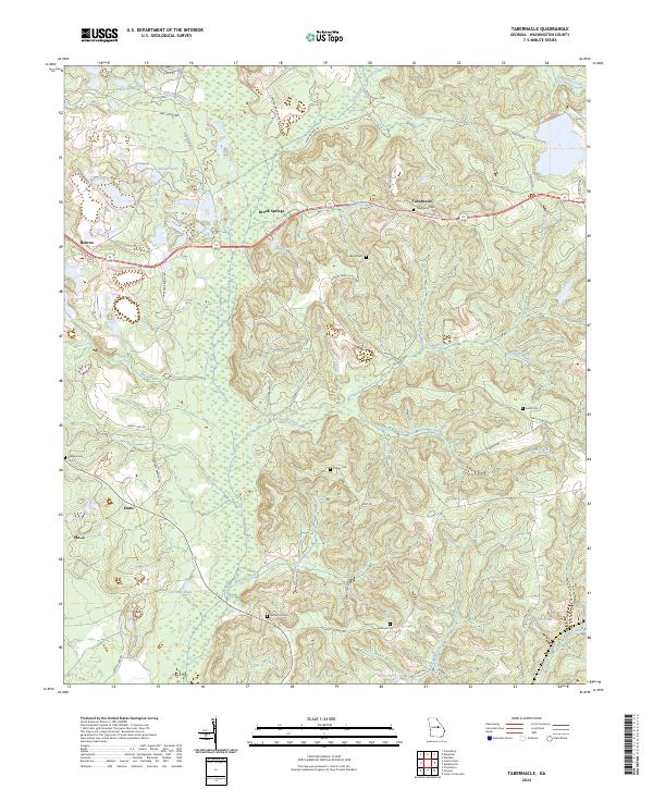
2024 Tabernacle
Washington County, GA
2024 Warthen NE
Washington County, GA