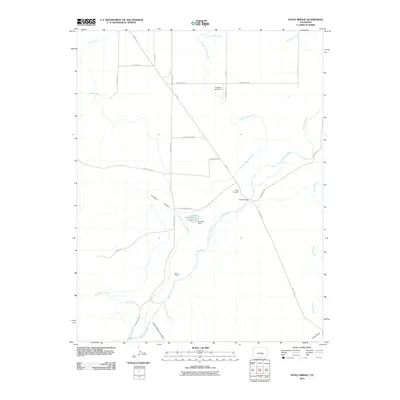
2010 Map of Doyle Bridge
USGS Topo · Published 2010About this map
The Huerfano River carves a central path through this section of Pueblo County, Colorado, defining a landscape shaped by agricultural irrigation and rural transit. The presence of the Huerfano Cucharas Ditch and Vertrees Reservoir, held by the Vertrees Dam, illustrates the engineering required to manage water in this arid environment. Settlement is sparse, anchored by the Butler Ranch and the small crossroads at Doyle Bridge, which serves as a notable landmark near the Doyle Cemetery. The map details a complex network of arroyos and canyons, such as Simpson Arroyo and Horse Pasture Canyon, which drain into the river valley. Aviation history is represented by the Huerfano AG Airport, while a grid of local roads like Doyle Rd and Broadacre Rd connect the isolated homesteads and grazing lands of the high plains.
Find a feature on this map
30 named features on this map. Tap any name to fly to it.
Don’t see what you’re looking for? This feature index may not catch every label — zoom into the map to look around manually.
Map Details
Editions of this 2010 Doyle Bridge Map
This is the sole edition of this map. No revisions or reprints were ever made.
Other maps of this area

1891 · Walsenburg
USGS Topo · 1:125,000

1891 · Pueblo
USGS Topo · 1:125,000

1891 · Nepesta
USGS Topo · 1:125,000

1891 · Apishapa
USGS Topo · 1:125,000

1893 · Nepesta
USGS Topo · 1:125,000

1893 · Apishapa
USGS Topo · 1:125,000

1894 · Walsenburg
USGS Topo · 1:125,000

1894 · Pueblo
USGS Topo · 1:125,000

1896 · Pueblo
USGS Topo · 1:125,000

1897 · Pueblo
USGS Topo · 1:125,000