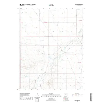
2019 Map of Doyle Bridge
USGS Topo · Published 2019About this map
The Huerfano River carves through this rural Pueblo County landscape, where the agricultural economy is sustained by complex irrigation systems like the Nepesta Farmers Ditch and the Huerfano Cucharas Ditch. The presence of Vertrees Reservoir further highlights the critical role of water management in this arid region. Near the river crossing at Doyle Bridge, the small Doyle Cem offers a focal point for genealogical research, anchoring local family histories to this specific stretch of the valley.
Find a feature on this map
39 named features on this map. Tap any name to fly to it.
Don’t see what you’re looking for? This feature index may not catch every label — zoom into the map to look around manually.
Map Details
Editions of this 2019 Doyle Bridge Map
This is the sole edition of this map. No revisions or reprints were ever made.
Other maps of this area

1891 · Walsenburg
USGS Topo · 1:125,000

1891 · Pueblo
USGS Topo · 1:125,000

1891 · Nepesta
USGS Topo · 1:125,000

1891 · Apishapa
USGS Topo · 1:125,000

1893 · Nepesta
USGS Topo · 1:125,000

1893 · Apishapa
USGS Topo · 1:125,000

1894 · Walsenburg
USGS Topo · 1:125,000

1894 · Pueblo
USGS Topo · 1:125,000

1896 · Pueblo
USGS Topo · 1:125,000

1897 · Pueblo
USGS Topo · 1:125,000