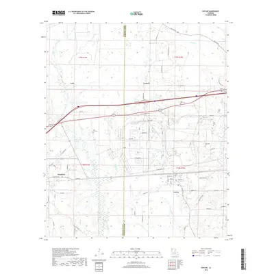
2018 Map of Doyline
USGS Topo · Published 2018About this map
Haughton and Doyline anchor this 2018 topographic landscape, where the boundary between Bossier Parish and Webster Parish runs through a mosaic of small settlements and family landmarks. The area is characterized by a high concentration of small cemeteries, including Allen Town Cem, Saint James Cem, and Jim Davis Cem, which offer significant value for genealogical research in this part of Louisiana.
Find a feature on this map
65 named features on this map. Tap any name to fly to it.
Don’t see what you’re looking for? This feature index may not catch every label — zoom into the map to look around manually.
Map Details
Editions of this 2018 Doyline Map
This is the sole edition of this map. No revisions or reprints were ever made.
Other maps of this area

1932 · Bossier SE
USGS Topo · 1:31,680

1932 · Bossier NE
USGS Topo · 1:31,680

1938 · Arnsberg
USGS Topo · 1:31,680

1947 · Ringgold
USGS Topo · 1:62,500

1947 · Minden
USGS Topo · 1:62,500

1948 · Bossier City
USGS Topo · 1:62,500

1948 · Caspiana
USGS Topo · 1:62,500

1949 · Minden
USGS Topo · 1:62,500

1955 · Shreveport
USGS Topo · 1:250,000

1955 · Caspiana
USGS Topo · 1:62,500