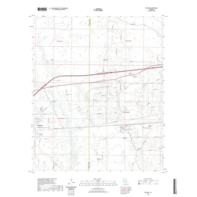
2020 Map of Doyline
USGS Topo · Published 2020About this map
Haughton and Doyline anchor this North Louisiana landscape, where the boundary between Bossier Parish and Webster Parish cuts through a dense concentration of rural community landmarks. The settlement pattern is defined by family-named cemeteries and churches that speak to the deep genealogical roots of the area, including Galilee Church Cem, Saint Matthew Church Cem, and the Jenkins Community Cem. The terrain is drained by several meandering watercourses such as Clarke Bayou, Caney Br, and Prairie Bayou, which influence the local road network. Notably, the eastern portion of the sheet features a military-themed street grid with names like Bataan Ave, Corregidor, and Dutch Harbor, suggesting twentieth-century institutional or residential development near the Frontage Rd corridor.
Find a feature on this map
89 named features on this map. Tap any name to fly to it.
Don’t see what you’re looking for? This feature index may not catch every label — zoom into the map to look around manually.
Map Details
Editions of this 2020 Doyline Map
This is the sole edition of this map. No revisions or reprints were ever made.
Other maps of this area

1932 · Bossier SE
USGS Topo · 1:31,680

1932 · Bossier NE
USGS Topo · 1:31,680

1938 · Arnsberg
USGS Topo · 1:31,680

1947 · Ringgold
USGS Topo · 1:62,500

1947 · Minden
USGS Topo · 1:62,500

1948 · Bossier City
USGS Topo · 1:62,500

1948 · Caspiana
USGS Topo · 1:62,500

1949 · Minden
USGS Topo · 1:62,500

1955 · Shreveport
USGS Topo · 1:250,000

1955 · Caspiana
USGS Topo · 1:62,500