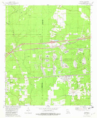
1981 Map of Doyline
USGS Topo · Published 1982About this map
The Louisiana Army Ammunition Plant dominates the central landscape of this early 1980s survey, illustrating the significant military footprint in the region. Straddling the Bossier Parish Webster Parish line, the area shows a transition from the industrial and defensive structures of the plant to the rural communities of Doyline and Haughton. The southern portion of the Bellevue Oil and Gas Field appears in the northwest, highlighting the importance of energy extraction in this corner of Louisiana.
Find a feature on this map
35 named features on this map. Tap any name to fly to it.
Don’t see what you’re looking for? This feature index may not catch every label — zoom into the map to look around manually.
Map Details
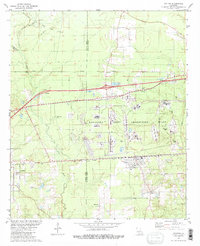
Editions of this 1981 Doyline Map
2 editions found
Other maps of this area

1932 · Bossier SE
USGS Topo · 1:31,680

1932 · Bossier NE
USGS Topo · 1:31,680

1938 · Arnsberg
USGS Topo · 1:31,680

1947 · Ringgold
USGS Topo · 1:62,500

1947 · Minden
USGS Topo · 1:62,500

1948 · Bossier City
USGS Topo · 1:62,500

1948 · Caspiana
USGS Topo · 1:62,500

1949 · Minden
USGS Topo · 1:62,500

1955 · Shreveport
USGS Topo · 1:250,000

1955 · Caspiana
USGS Topo · 1:62,500