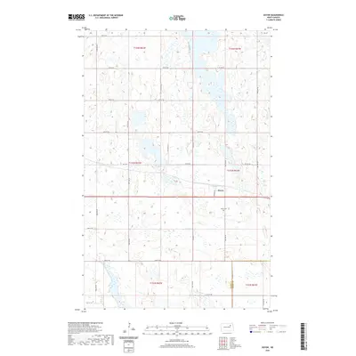
2020 Map of Doyon
USGS Topo · Published 2020About this map
Doyon serves as the central settlement on this North Dakota prairie landscape, situated near the intersection of Warner Ave and the regional highway system. The terrain is characterized by the high density of small wetlands and depressions typical of the Devils Lake basin, creating a complex hydrologic pattern across the township sections. Located just south of the main townsite, the Doyon Cem provides a primary point of interest for genealogists and local historians tracking early families in this part of Ramsey and Nelson Counties. The map details a rigid grid of rural section roads, such as Co Hwy 2 and 49th St NE, which define the agricultural divisions of the eastern Dakotas.
Find a feature on this map
27 named features on this map. Tap any name to fly to it.
Don’t see what you’re looking for? This feature index may not catch every label — zoom into the map to look around manually.
Map Details
Editions of this 2020 Doyon Map
This is the sole edition of this map. No revisions or reprints were ever made.
Other maps of this area

1930 · Pekin
USGS Topo · 1:62,500

1930 · Hamar
USGS Topo · 1:62,500

1950 · Devils Lake Mountain
USGS Topo · 1:24,000

1951 · Crary
USGS Topo · 1:24,000

1951 · Devils Lake Mountain
USGS Topo · 1:24,000

1951 · Pekin NW
USGS Topo · 1:24,000

1951 · Free Peoples Lake
USGS Topo · 1:24,000

1951 · Pekin
USGS Topo · 1:62,500

1952 · New Rockford
USGS Topo · 1:250,000

1953 · Devils Lake
USGS Topo · 1:250,000