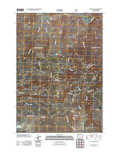
2011 Map of Drake Butte
USGS Topo · Published 2011About this map
Crooked River winds through the northern reaches of this high-desert landscape in Crook County, where the terrain is defined by dramatic volcanic prominences and broad upland flats. Significant landforms like Polk Butte and Drake Butte rise above the drainage basins of Drake Creek and Wildcat Creek, marking a region shaped by complex hydrology and rugged relief. In the southern portion, Antelope Flat and the adjacent Antelope Flat Reservoir suggest a reliance on seasonal water management for ranching operations.
Find a feature on this map
26 named features on this map. Tap any name to fly to it.
Don’t see what you’re looking for? This feature index may not catch every label — zoom into the map to look around manually.
Map Details
Editions of this 2011 Drake Butte Map
This is the sole edition of this map. No revisions or reprints were ever made.
Other maps of this area

1951 · Post
USGS Topo · 1:62,500

1955 · Crescent
USGS Topo · 1:250,000

1955 · Bend
USGS Topo · 1:250,000

1957 · Crescent
USGS Topo · 1:250,000

1957 · Bend
USGS Topo · 1:250,000

1958 · Crescent
USGS Topo · 1:250,000

1958 · Bend
USGS Topo · 1:250,000

1970 · Crescent
USGS Topo · 1:250,000

1981 · Prineville
USGS Topo · 1:100,000

1982 · Arrowwood Point
USGS Topo · 1:24,000