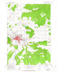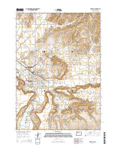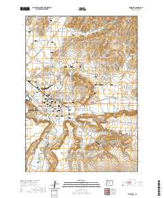
1981 Map of Prineville
USGS Topo · Published 1981About this map
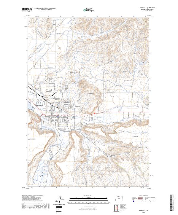
Prineville serves as the primary hub where the Crooked River and Ochoco Creek converge, anchoring a landscape defined by 1980s water management and timber resources. The map highlights the significant reaches of the Ochoco National Forest, which dominates the northern and eastern terrain. Evidence of the region’s mineral history is visible through the Ochoco Mine, Amity Mine, and Maury Mtn Mines, while rural life is centered around outlying settlements like Post and Roberts. To the east of the city, the Ochoco Reservoir and the larger Prineville Reservoir illustrate the development of irrigation and recreation, with the Prineville Reservoir State Park and Prineville Reservoir State Wildlife Area protecting the surrounding shorelines. High-elevation features such as Big Summit Prairie and Grizzly Mtn provide a clear view of the varied topography across the Ochoco Mountains.
Find a feature on this map
171 named features on this map. Tap any name to fly to it.
Don’t see what you’re looking for? This feature index may not catch every label — zoom into the map to look around manually.
Map Details
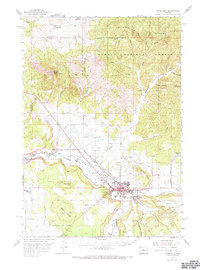
Editions of this 1981 Prineville Map
This is the sole edition of this map. No revisions or reprints were ever made.
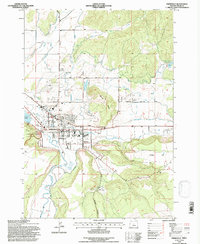
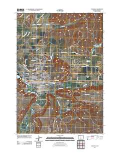
Historical Maps of Prineville Through Time
9 maps found