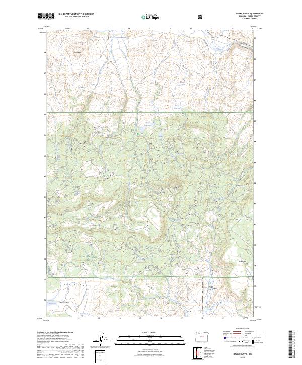
2023 Map of Drake Butte
USGS Topo · Published 2023About this map
The Maury Mountains dominate the southern portion of this high-desert landscape within the Ochoco National Forest. This high-altitude terrain is defined by a series of volcanic buttes and flats, including Polk Butte in the northwest and Tower Point near the center. The drainage network is complex, with Shotgun Creek, Drake Creek, and Wildcat Creek cutting through the northern reaches toward the Crooked River.
Find a feature on this map
43 named features on this map. Tap any name to fly to it.
Don’t see what you’re looking for? This feature index may not catch every label — zoom into the map to look around manually.
Map Details
Editions of this 2023 Drake Butte Map
This is the sole edition of this map. No revisions or reprints were ever made.
Other maps of this area

1951 · Post
USGS Topo · 1:62,500

1955 · Crescent
USGS Topo · 1:250,000

1955 · Bend
USGS Topo · 1:250,000

1957 · Crescent
USGS Topo · 1:250,000

1957 · Bend
USGS Topo · 1:250,000

1958 · Crescent
USGS Topo · 1:250,000

1958 · Bend
USGS Topo · 1:250,000

1970 · Crescent
USGS Topo · 1:250,000

1981 · Prineville
USGS Topo · 1:100,000

1982 · Arrowwood Point
USGS Topo · 1:24,000