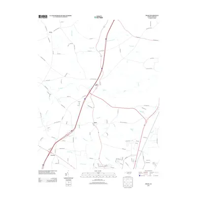
2013 Map of Drake
USGS Topo · Published 2013About this map
Gold Rock and Drake serve as central nodes in this landscape north of Rocky Mount, where the transition from agricultural fields to suburban expansion is visible in the dense network of local roads. The area is defined by a series of significant wetlands and watercourses, including the extensive Beaverdam Swamp and Lane Swamp to the north, and the meandering path of Swift Cr through the center. Large-scale farming interests remain prominent, evidenced by Watson Seed Farm Rd and Morning Farm Rd. Further south, the community of Dortches borders Compass Cr, while recreational or residential water features like Braswells Lake and Tenners Pond dot the eastern side of the quadrangle. This 2013 survey illustrates how modern infrastructure, including the interstate corridor, has integrated with the older rural framework of communities like Salem.
Find a feature on this map
95 named features on this map. Tap any name to fly to it.
Don’t see what you’re looking for? This feature index may not catch every label — zoom into the map to look around manually.
Map Details
Editions of this 2013 Drake Map
This is the sole edition of this map. No revisions or reprints were ever made.
Other maps of this area

1902 · Rocky Mount
USGS Topo · 1:62,500

1902 · Tarboro
USGS Topo · 1:62,500

1903 · Tarboro
USGS Topo · 1:62,500

1904 · Rocky Mount
USGS Topo · 1:62,500

1953 · Norfolk
USGS Topo · 1:250,000

1953 · Rocky Mount
USGS Topo · 1:250,000

1954 · Rocky Mount
USGS Topo · 1:250,000

1961 · Whitakers
USGS Topo · 1:24,000

1961 · Enfield
USGS Topo · 1:24,000

1963 · Ringwood
USGS Topo · 1:24,000