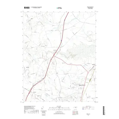
2019 Map of Drake
USGS Topo · Published 2019About this map
Swift Creek and its many tributaries, including Black Swamp and Beaverdam Swamp, define the hydrologic character of this Nash County landscape. The region is dotted with family and community burial grounds such as Dozier Cem, Williams Cem, and Harper Cem, providing a detailed record for genealogical research. The transition from rural farmland to the northern outskirts of Rocky Mount is evident, particularly as modern infrastructure like the Thomas A Betts Pkwy intersects with established communities.
Find a feature on this map
101 named features on this map. Tap any name to fly to it.
Don’t see what you’re looking for? This feature index may not catch every label — zoom into the map to look around manually.
Map Details
Editions of this 2019 Drake Map
This is the sole edition of this map. No revisions or reprints were ever made.
Other maps of this area

1902 · Rocky Mount
USGS Topo · 1:62,500

1902 · Tarboro
USGS Topo · 1:62,500

1903 · Tarboro
USGS Topo · 1:62,500

1904 · Rocky Mount
USGS Topo · 1:62,500

1953 · Norfolk
USGS Topo · 1:250,000

1953 · Rocky Mount
USGS Topo · 1:250,000

1954 · Rocky Mount
USGS Topo · 1:250,000

1961 · Whitakers
USGS Topo · 1:24,000

1961 · Enfield
USGS Topo · 1:24,000

1963 · Ringwood
USGS Topo · 1:24,000