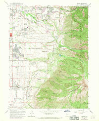
1963 Map of Draper
USGS Topo · Published 1970About this map
The Wasatch Mountains rise sharply above the expanding residential corridors of the Salt Lake Valley, where irrigation systems like the Union Canal and the Sandy Ditch still trace the agricultural heritage of the region. This 1963 survey, updated with 1969 aerial revisions, documents the urban transition of Draper and Sandy City as new developments began to surround established landmarks like the Draper Cem and Hillcrest High Sch. In the higher elevations to the east, the landscape shifts to the protected lands of the Wasatch National Forest, where the unique LDS Church Records Storage Area and the Temple Granite Quarry Historical Monument mark the geological and cultural significance of the local granite. The map captures a specific era of infrastructure growth, from the Alta Airpark to the Salt Lake City Aqueduct, illustrating how the canyon mouths of Little Cottonwood Creek and Big Cottonwood Cr were managed for both recreation and utility.
Find a feature on this map
62 named features on this map. Tap any name to fly to it.
Don’t see what you’re looking for? This feature index may not catch every label — zoom into the map to look around manually.
Map Details
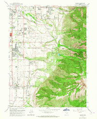
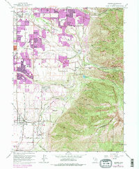
Editions of this 1963 Draper Map
Other maps of this area

1885 · Salt Lake
USGS Topo · 1:250,000

1925 · Ft. Douglas
USGS Topo · 1:125,000

1928 · Ft. Douglas
USGS Topo · 1:125,000

1948 · Timpanogos Cave
USGS Topo · 1:24,000

1948 · Orem
USGS Topo · 1:62,500

1950 · Timpanogos Cave
USGS Topo · 1:24,000

1951 · Jordan Narrows
USGS Topo · 1:24,000

1951 · Lehi
USGS Topo · 1:24,000

1951 · Salt Lake City South
USGS Topo · 1:24,000

1951 · Midvale
USGS Topo · 1:24,000