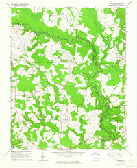
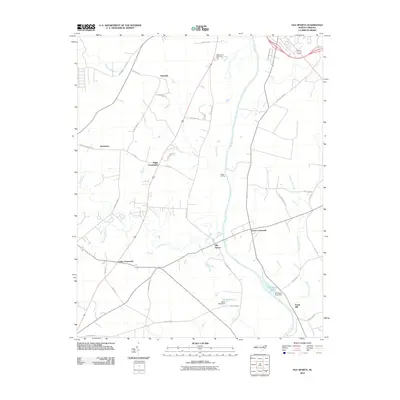
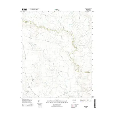
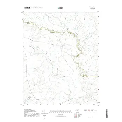
1960 Map of Draughn
USGS Topo · Published 1964About this map
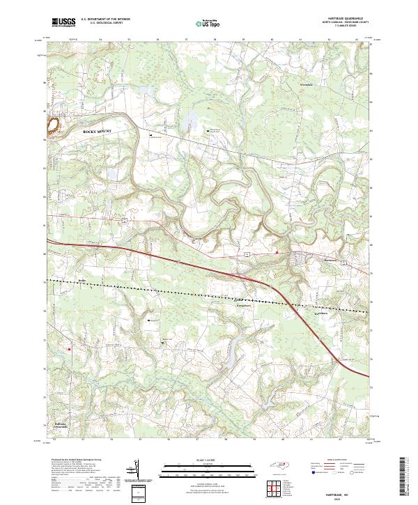
Fishing Creek meanders along the boundary of Halifax and Edgecombe counties, defining a landscape of rural townships and expansive wetlands. This 1960 survey captures the agricultural and social fabric of the area, centered around small communities like Draughn and Lawrence. The map reveals a high density of family-named landmarks and local religious centers, including Bethlehem Ch, Ebenezer Ch, and Mt Moriah Ch, which served as the cornerstones of community life.
Find a feature on this map
23 named features on this map. Tap any name to fly to it.
Don’t see what you’re looking for? This feature index may not catch every label — zoom into the map to look around manually.
Map Details
Editions of this 1960 Draughn Map
This is the sole edition of this map. No revisions or reprints were ever made.
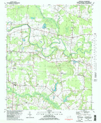
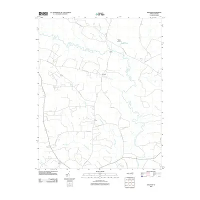
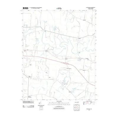
Historical Maps of Draughn Through Time
17 maps found
1960 Draughn
Edgecombe County, NC
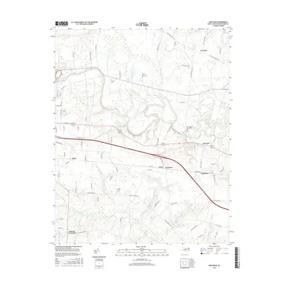
1981 Hartsease
Edgecombe County, NC
2010 Draughn
Edgecombe County, NC
2010 Hartsease
Edgecombe County, NC
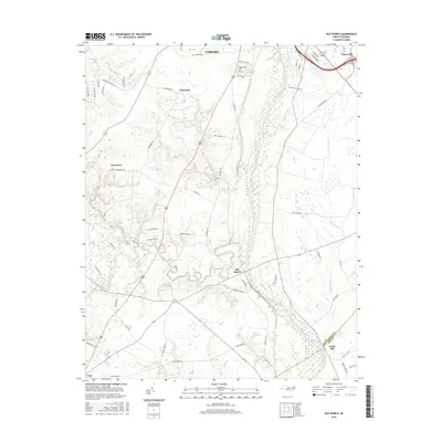
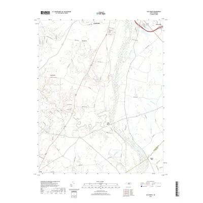
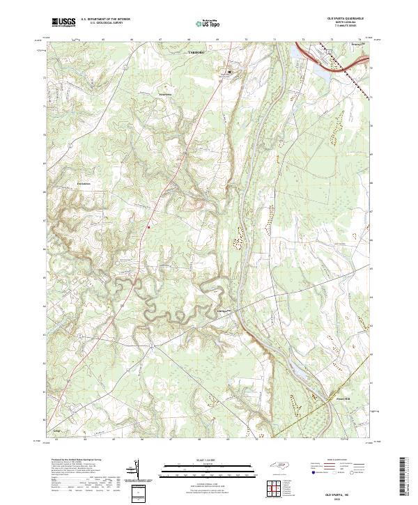
2010 Old Sparta
Edgecombe County, NC
2013 Draughn
Edgecombe County, NC
2013 Hartsease
Edgecombe County, NC
2013 Old Sparta
Edgecombe County, NC
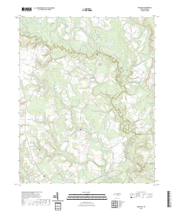
2016 Draughn
Edgecombe County, NC
2016 Hartsease
Edgecombe County, NC
2016 Old Sparta
Edgecombe County, NC
2019 Draughn
Edgecombe County, NC
2019 Hartsease
Edgecombe County, NC
2019 Old Sparta
Edgecombe County, NC
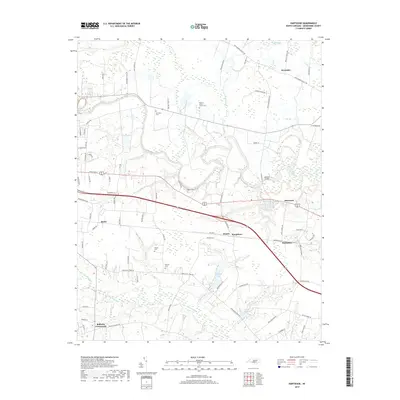
2022 Draughn
Edgecombe County, NC
2022 Hartsease
Edgecombe County, NC
2022 Old Sparta
Edgecombe County, NC